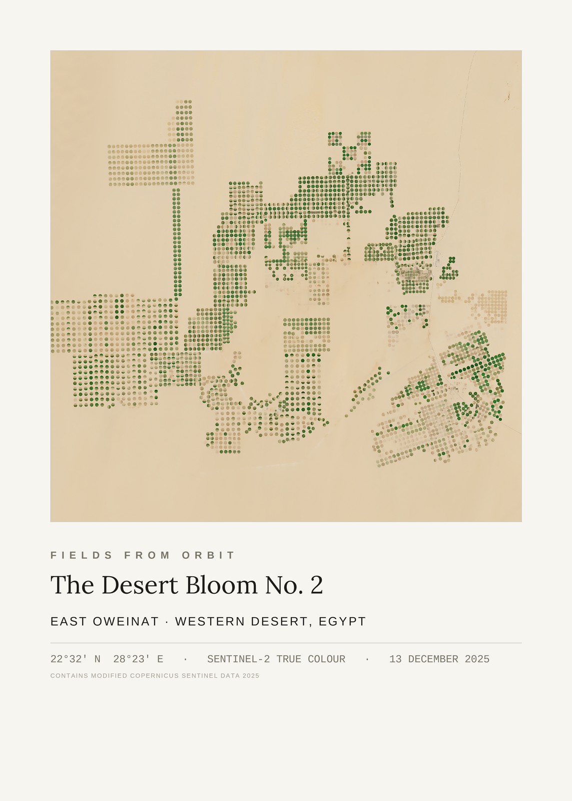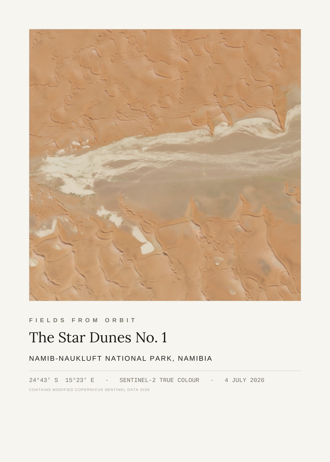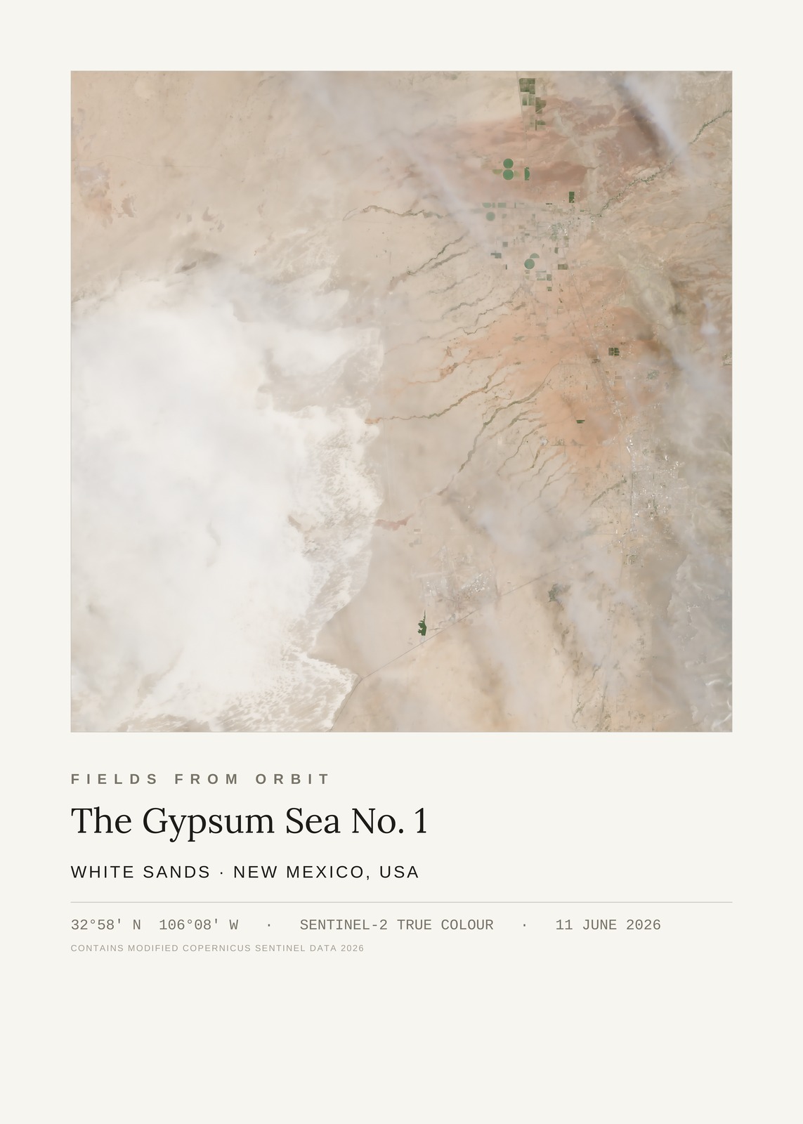
Every purchase — digital or print — ships with the museum label shown here (place, coordinates, capture date).
Tap or click the image to zoom · pinch to zoom on mobile
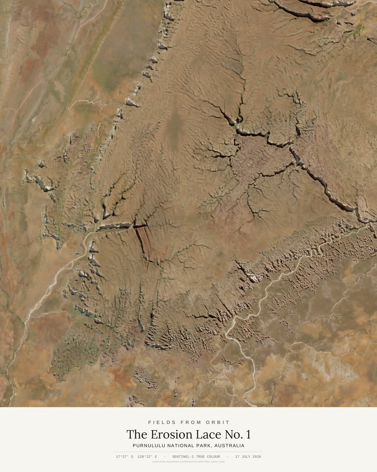
The Erosion Lace No. 1
Purnululu National Park, Australia
-17.45, 128.37 · Captured 2026-07-17
Not listed for purchase yet — join the waitlist for any format above and we’ll email you the moment it’s available. Size & Framing Guide
On 17 July 2026, the Sentinel-2 satellite looked down on Purnululu National Park, home to the striped beehive domes of the Bungle Bungle Range. This crop sits just north of the domes themselves, where dendritic drainage channels have carved a lace-like network across the sandstone plateau — a quieter, more abstract side of the same park, visible only at this scale.