Every purchase — digital or print — ships with the museum label shown here (place, coordinates, capture date).
Tap or click the image to zoom · pinch to zoom on mobile
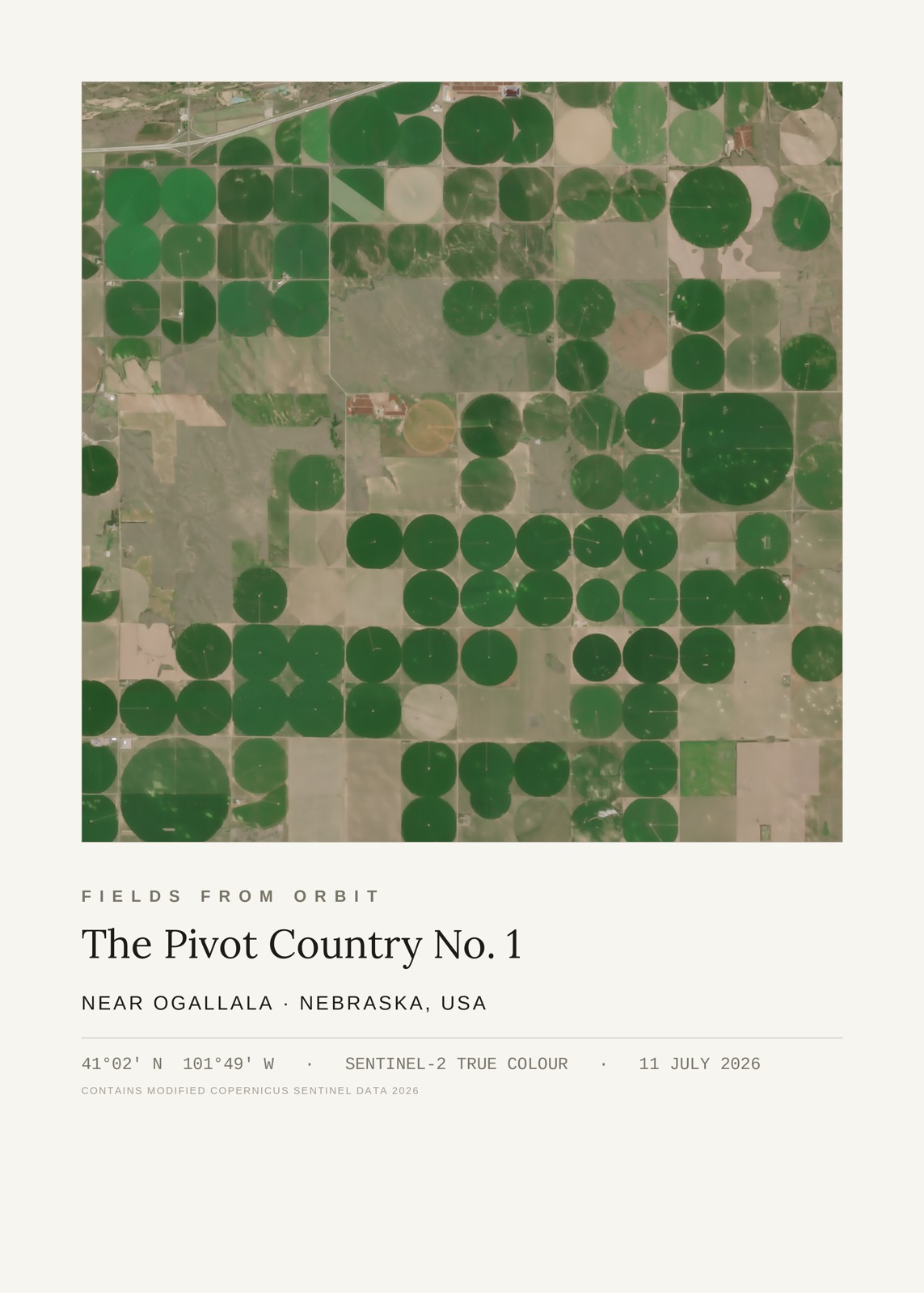
The Pivot Country No. 1
Near Ogallala, Nebraska, USA
41.03, -101.81 · Captured 2026-07-11
Giclée-quality archival print, made to order, ships internationally. Size & Framing Guide
The satellite passed over the High Plains near Ogallala, Nebraska — the town that gave the Ogallala Aquifer its name — and caught the aquifer's signature on the land: dozens of center-pivot irrigation circles, each one a quarter-mile arm of sprinklers slowly rotating around a well, turning dry tan stubble into perfect discs of green at every stage of the growing season.