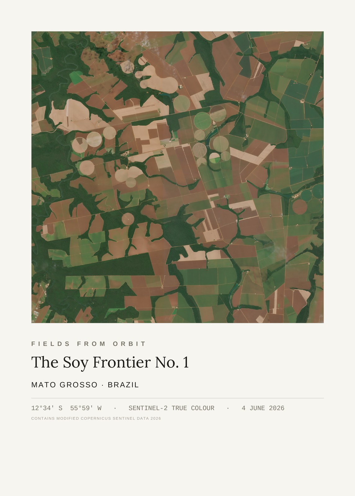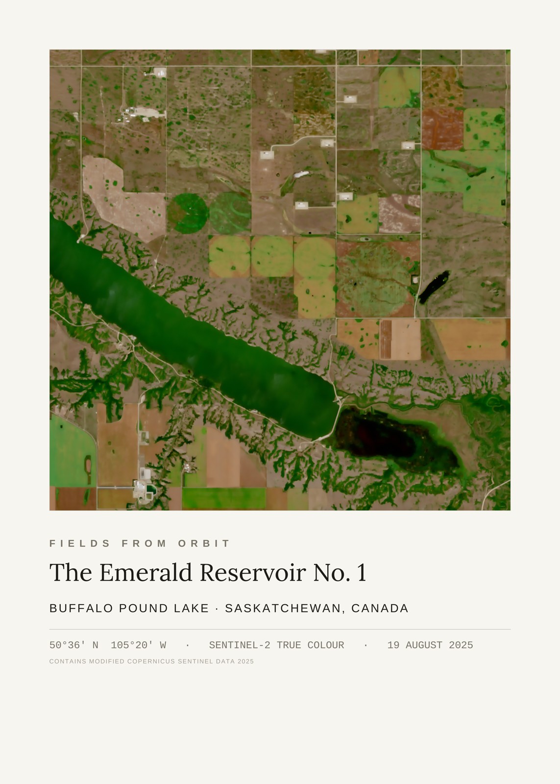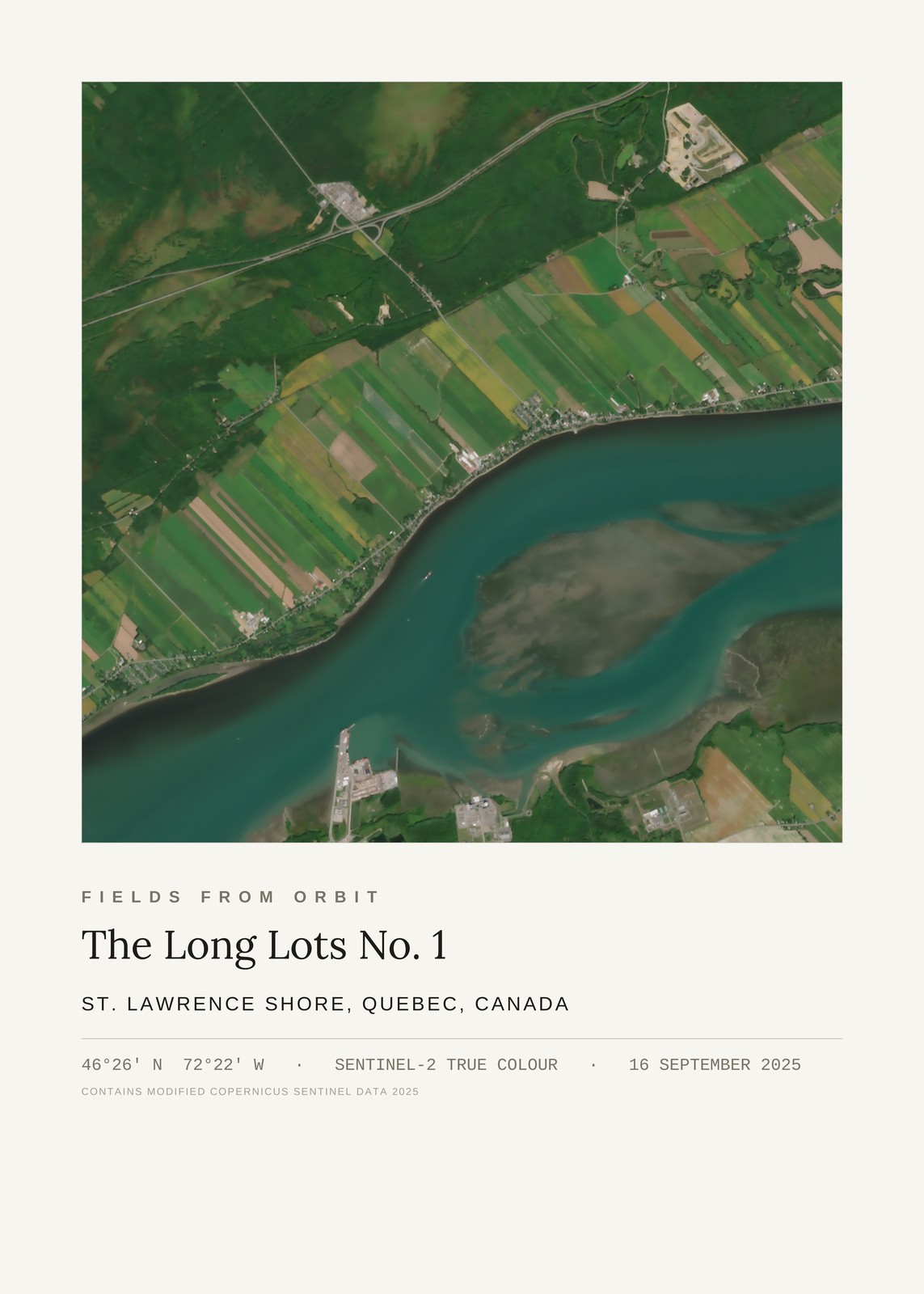
Every purchase — digital or print — ships with the museum label shown here (place, coordinates, capture date).
Tap or click the image to zoom · pinch to zoom on mobile
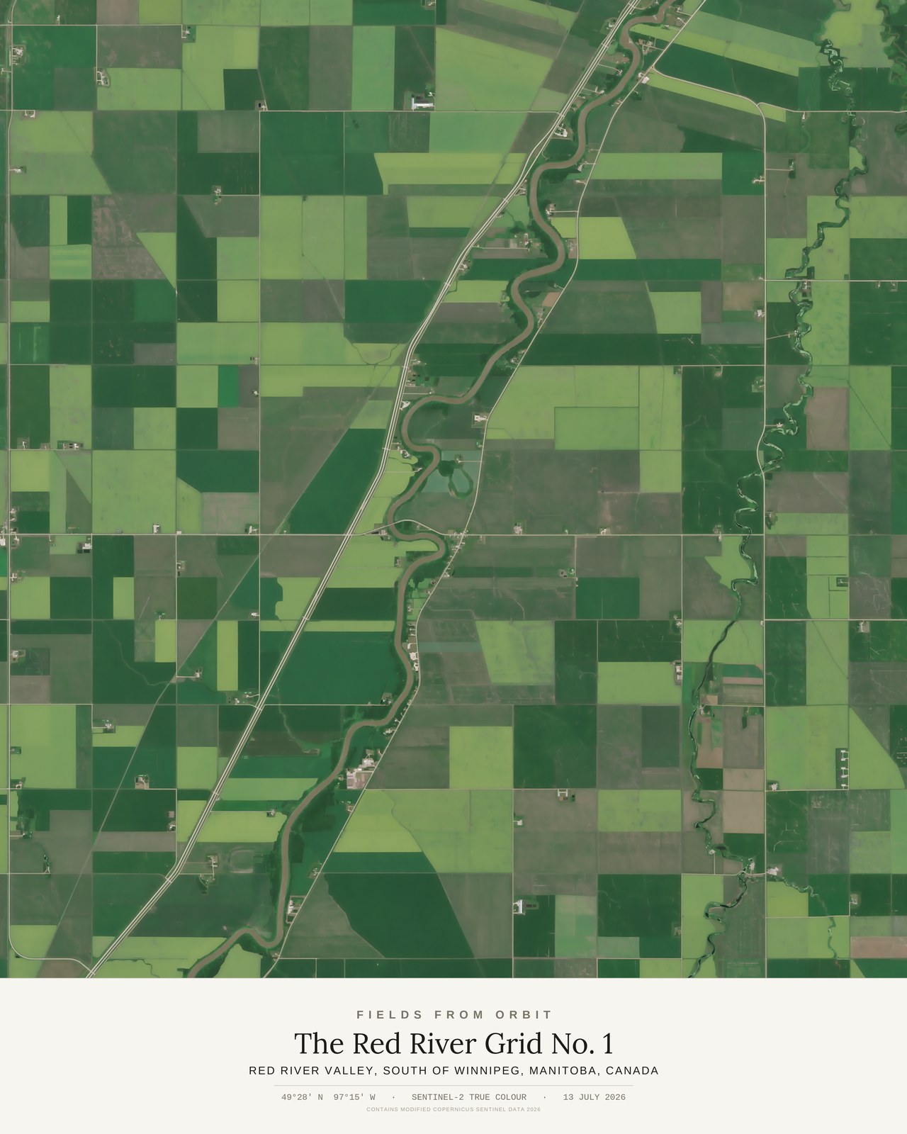
The Red River Grid No. 1
Red River Valley, south of Winnipeg, Manitoba, Canada
49.47, -97.25 · Captured 2026-07-13
Not listed for purchase yet — join the waitlist for any format above and we’ll email you the moment it’s available. Size & Framing Guide
On 13 July 2026, the Sentinel-2 satellite passed over the Red River Valley south of Winnipeg, Manitoba, and caught the flattest, most fertile ground on the continent doing what it does best: a mile-perfect survey grid, laid down on the bed of a vanished glacial lake so level it needed no adjustment for terrain at all.
Cutting straight through the geometry, one river refuses the rules. The Red River winds in slow, deliberate meanders — utterly unconcerned with the grid — trailing oxbow scars and threading past farmsteads that all, without exception, planted themselves close to its banks.