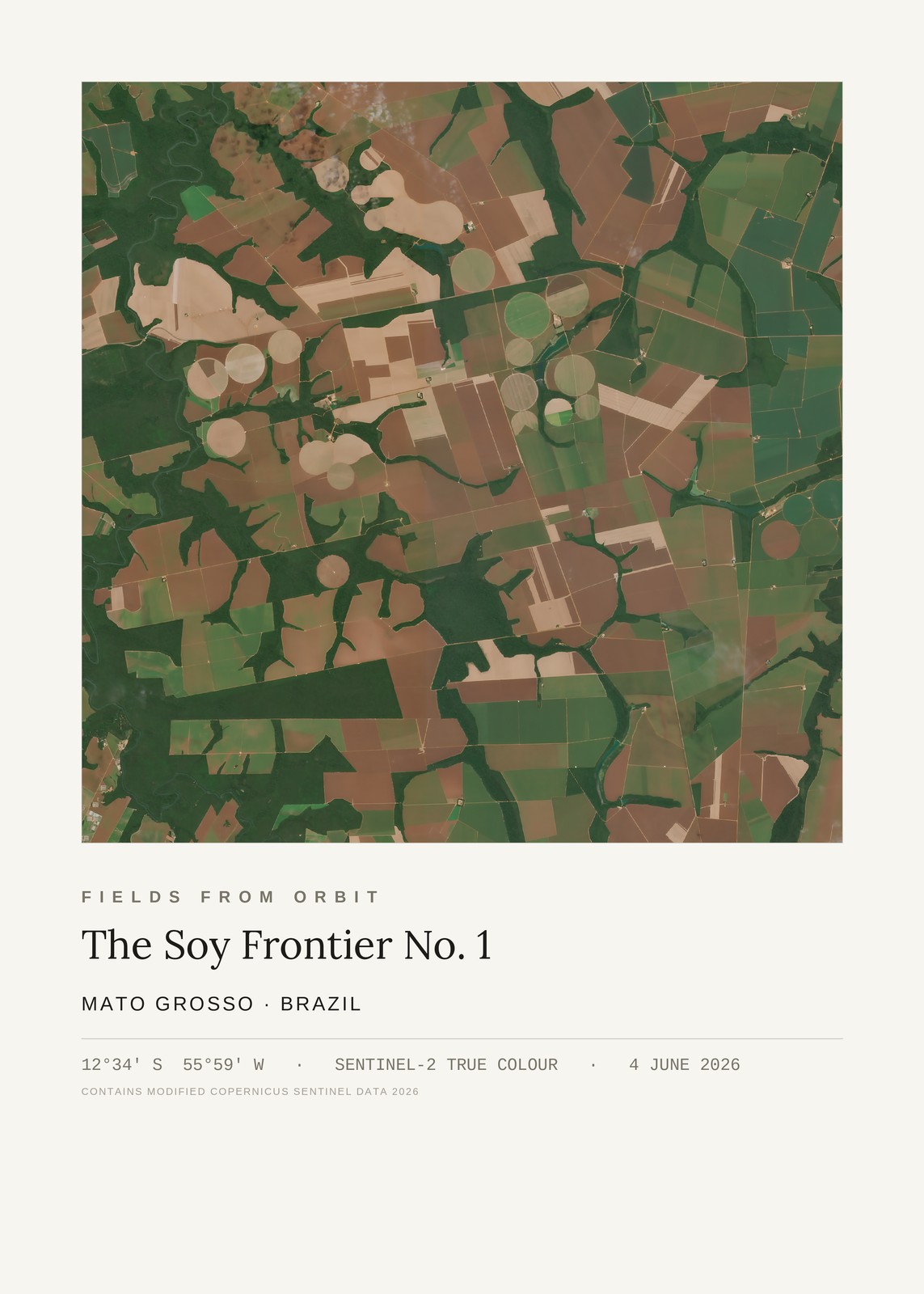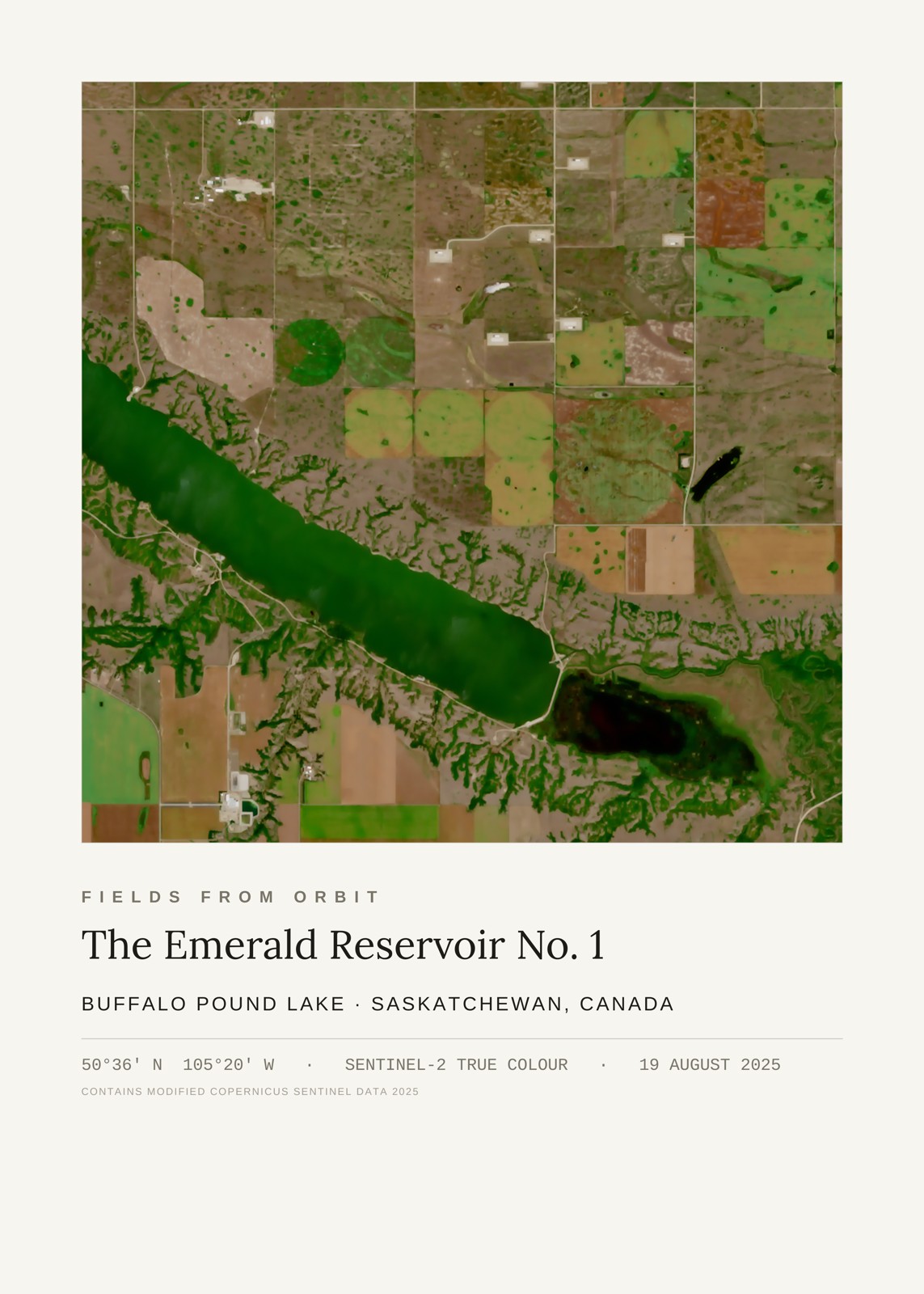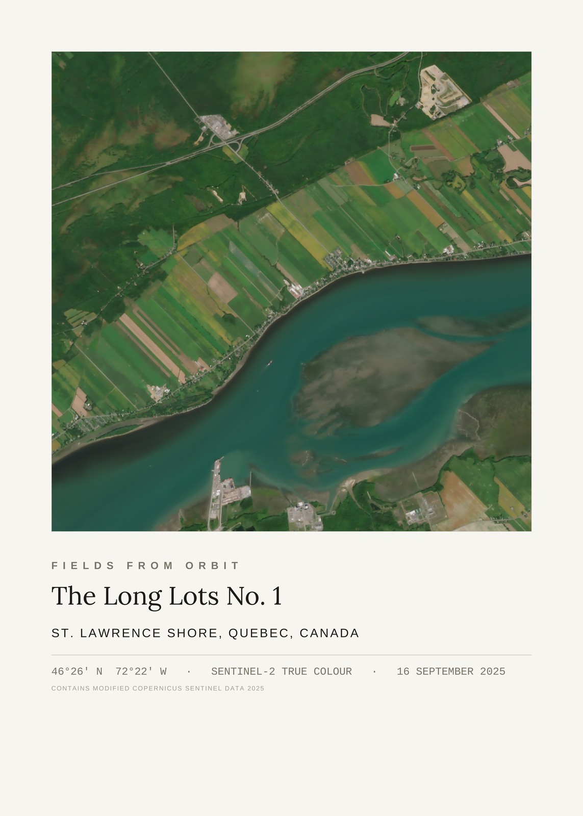
Every purchase — digital or print — ships with the museum label shown here (place, coordinates, capture date).
Tap or click the image to zoom · pinch to zoom on mobile
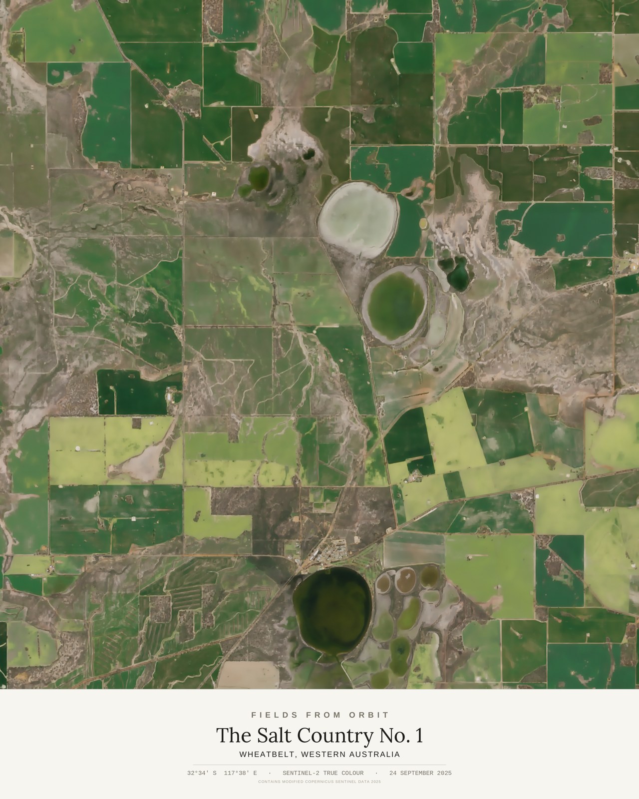
The Salt Country No. 1
Wheatbelt, Western Australia
-32.56, 117.63 · Captured 2025-09-24
Not listed for purchase yet — join the waitlist for any format above and we’ll email you the moment it’s available. Size & Framing Guide
On 24 September 2025 — early spring in the southern hemisphere — the Sentinel-2 satellite crossed the Wheatbelt of Western Australia and caught the region at its strangest and most beautiful: a grid of green cropped paddocks running right up to the shores of natural salt lakes, the water rings glowing pale mint and deep olive where salt-loving algae have taken hold.
It is a landscape of two colours that shouldn't sit together — the fresh green of young wheat and canola against the bleached, mineral-crusted margins of lakes that have been evaporating for millennia. Roads and fence lines slice the fields into clean rectangles; the lakes ignore all of it, pooling into soft circles and kidney shapes wherever the land dips.