Every purchase — digital or print — ships with the museum label shown here (place, coordinates, capture date).
Tap or click the image to zoom · pinch to zoom on mobile
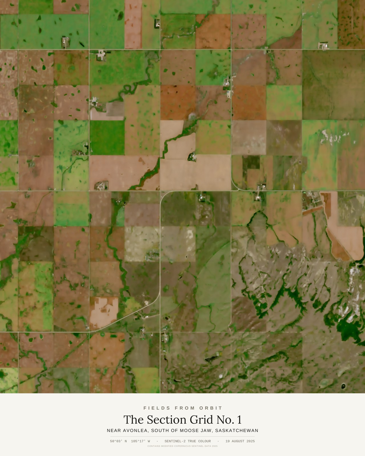
The Section Grid No. 1
Near Avonlea, south of Moose Jaw, Saskatchewan
50.0458, -105.2752 · Captured 2025-08-19
Not listed for purchase yet — join the waitlist for any format above and we’ll email you the moment it’s available. Size & Framing Guide
On 19 August 2025, the Sentinel-2 satellite looked down on the farmland south of Moose Jaw, Saskatchewan, near the village of Avonlea — and saw a quilt. This is the Dominion Land Survey at work: the mile-square section grid that was drawn across the Canadian prairies in the 1870s and has organized the landscape ever since. In late August the grid fills in with harvest colours — fresh-cut gold, summerfallow brown, late-green canola and pulse crops — every square a different farmer's year.
And then, in the lower right, the land refuses the grid: a dark coulee system branches through the squares like a root, where the prairie drops toward the valley and the survey lines simply stop mattering.