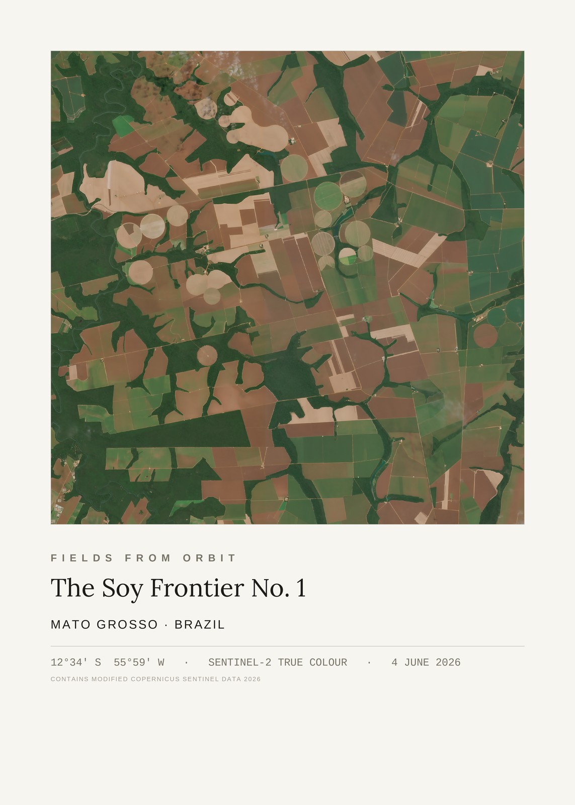
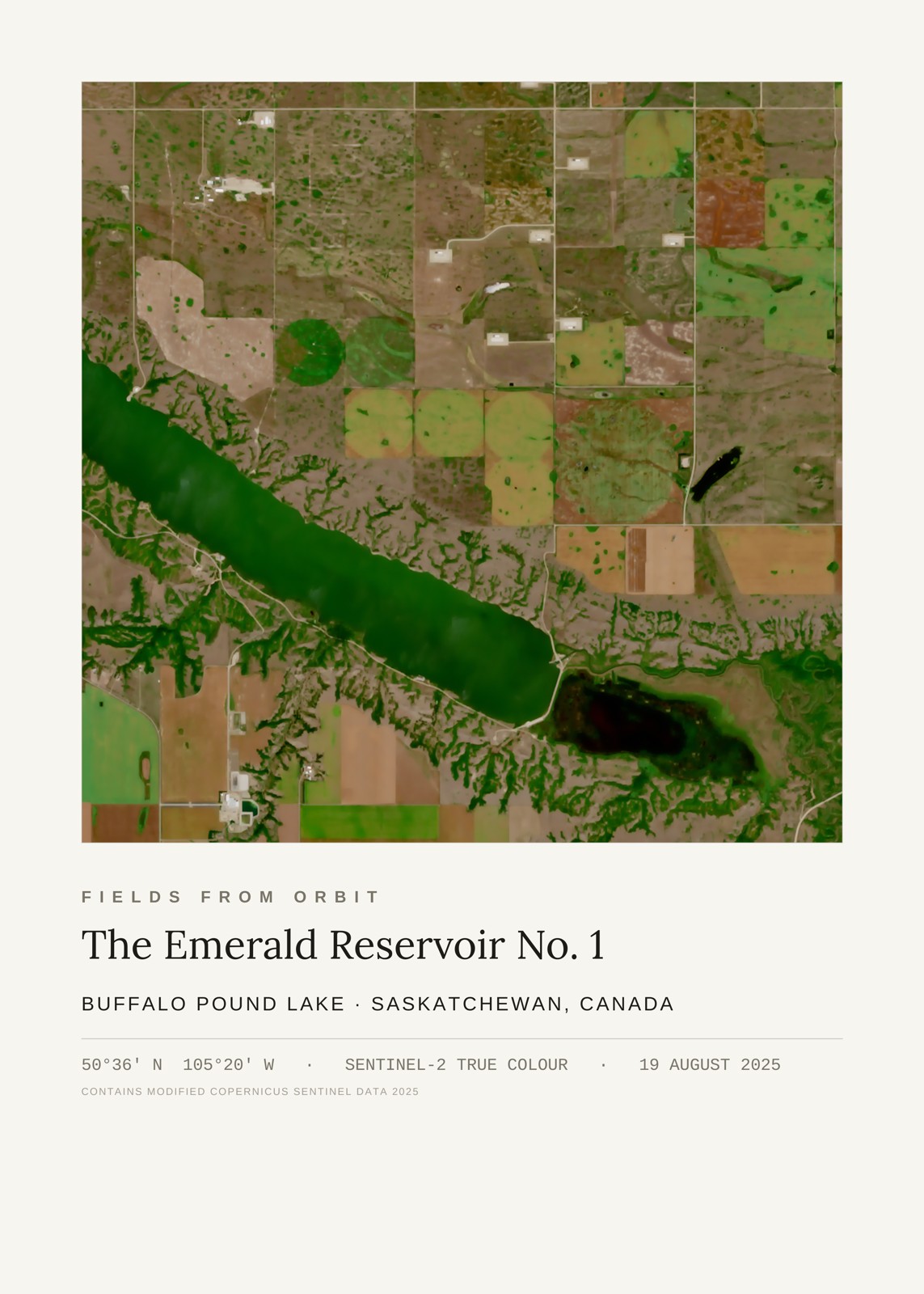
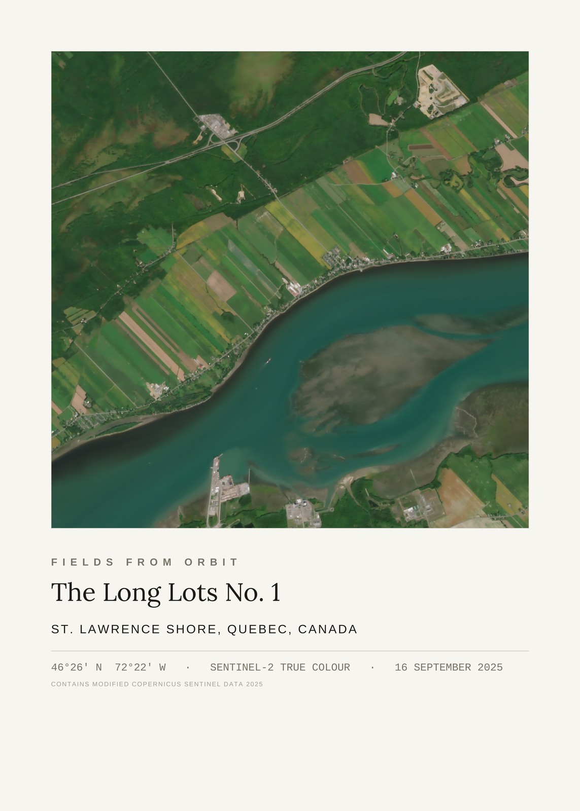
Every purchase — digital or print — ships with the museum label shown here (place, coordinates, capture date).
Tap or click the image to zoom · pinch to zoom on mobile
The Southern Isle No. 1
Pelee Island, Lake Erie, Ontario, Canada
41.78, -82.66 · Captured 2026-07-12
Not listed for purchase yet — join the waitlist for any format above and we’ll email you the moment it’s available. Size & Framing Guide
On 12 July 2026, the Sentinel-2 satellite looked down on Pelee Island, Canada's southernmost inhabited point, adrift in Lake Erie. Green and rose-toned fields cover the island end to end, and sediment plumes swirl through the surrounding turquoise water — a whole island held in one frame.