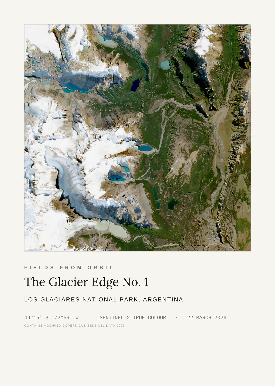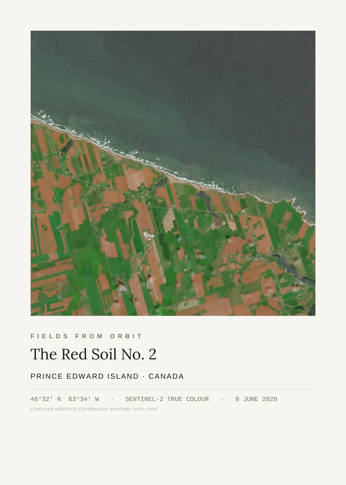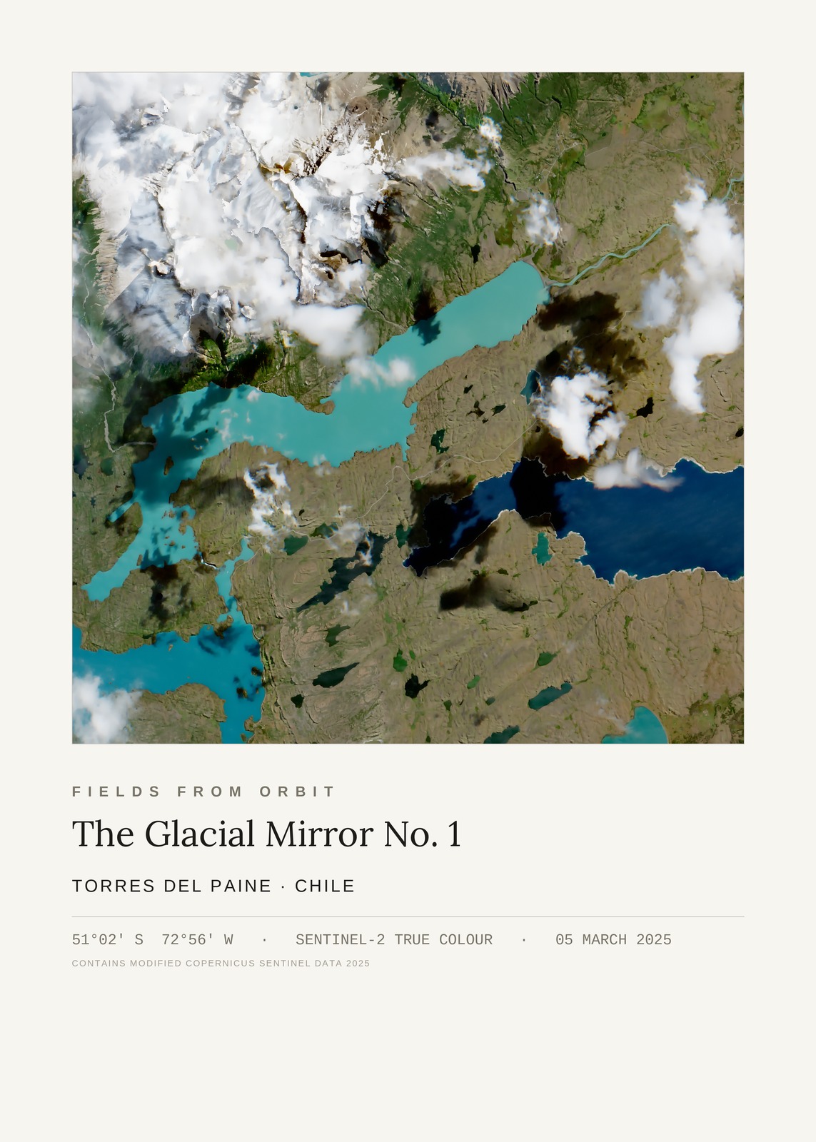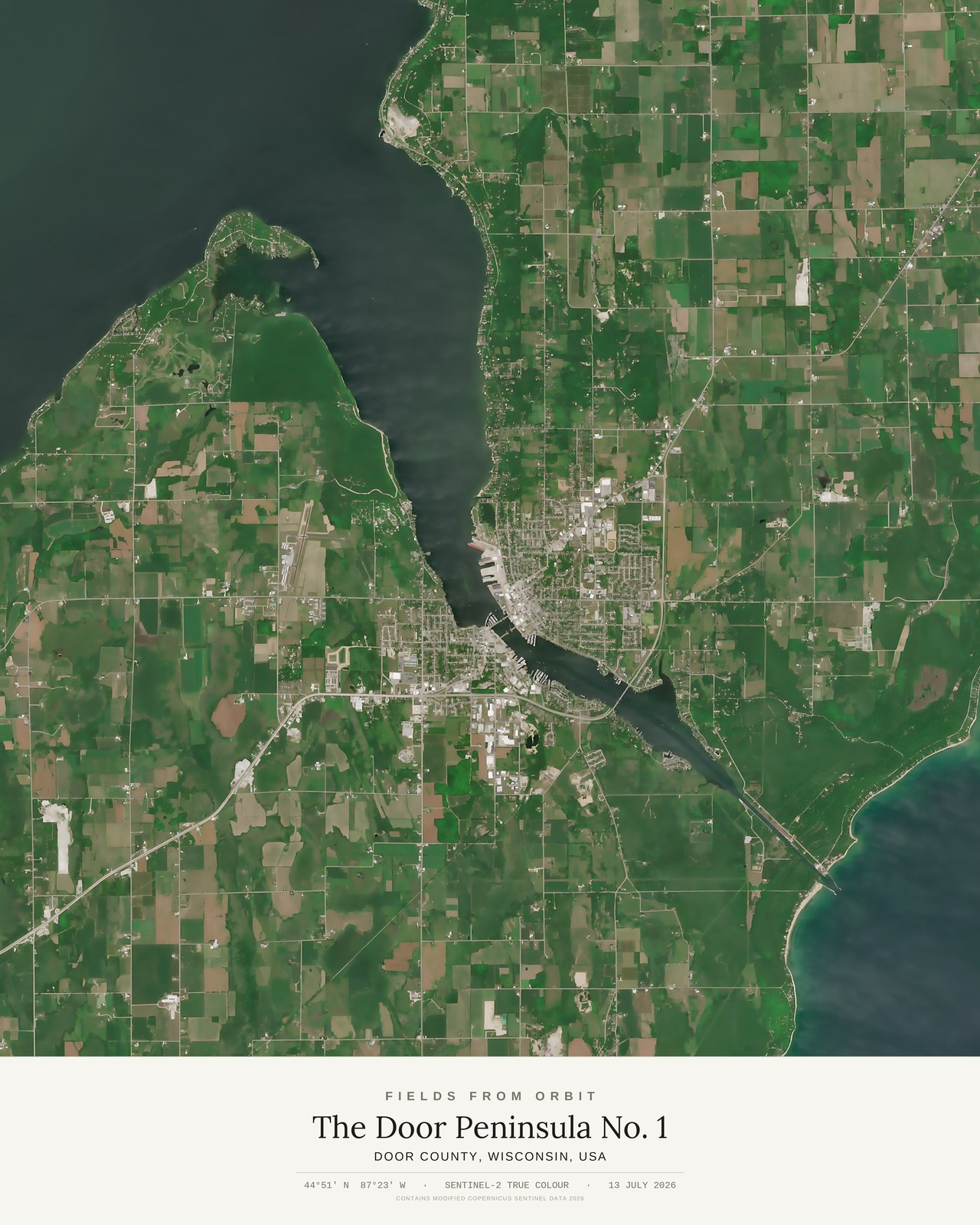
Every purchase — digital or print — ships with the museum label shown here (place, coordinates, capture date).
Tap or click the image to zoom · pinch to zoom on mobile
The Door Peninsula No. 1
Door County, Wisconsin, USA
44.8458, -87.3832 · Captured 2026-07-13
Secure checkout via Stripe·Visa · Mastercard · Amex · Apple Pay
Digital download delivered instantly by email after checkout — JPEG, 4800×6000px, 300 DPI. Canvas prints ship to Canada & the US, about 5–10 business days after a short production window — shipping is calculated at checkout. Full file specs & Size Guide
On 13 July 2026, the Sentinel-2 satellite looked down on Door County, Wisconsin, and found a narrow peninsula splitting Lake Michigan from Green Bay, its shoreline of docks and inlets cut through the middle by Sturgeon Bay's own channel — a working waterway threading straight across the land it named.