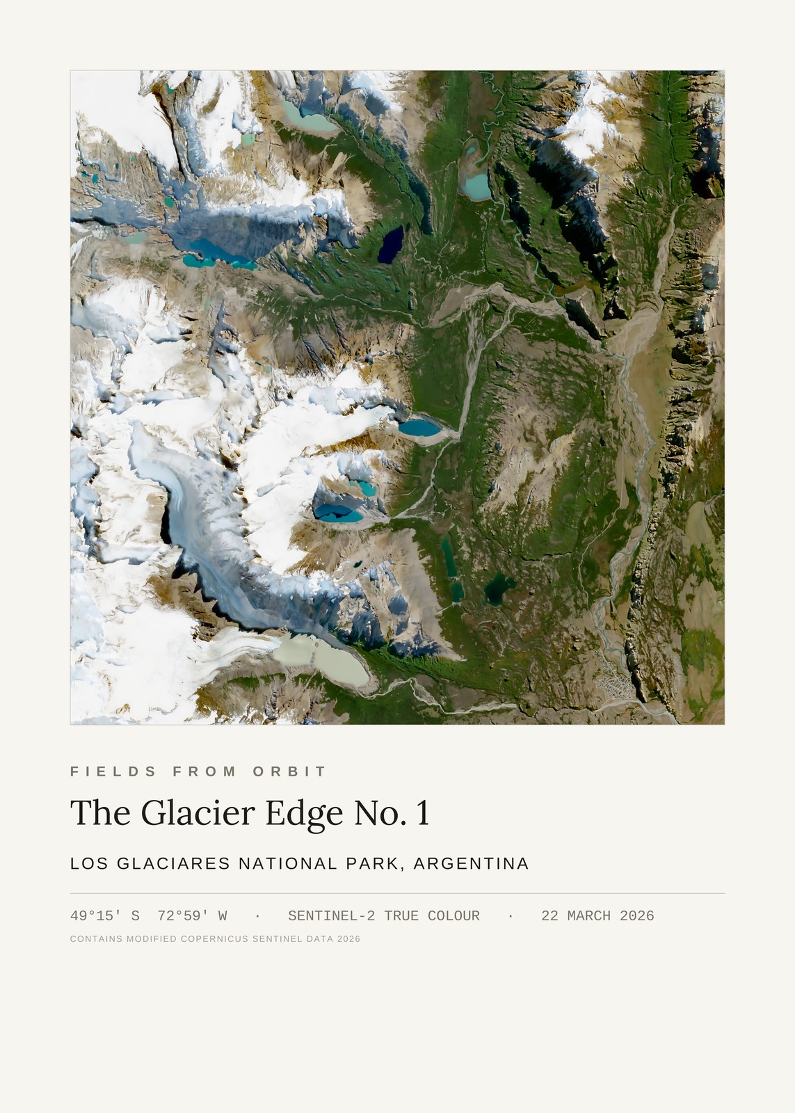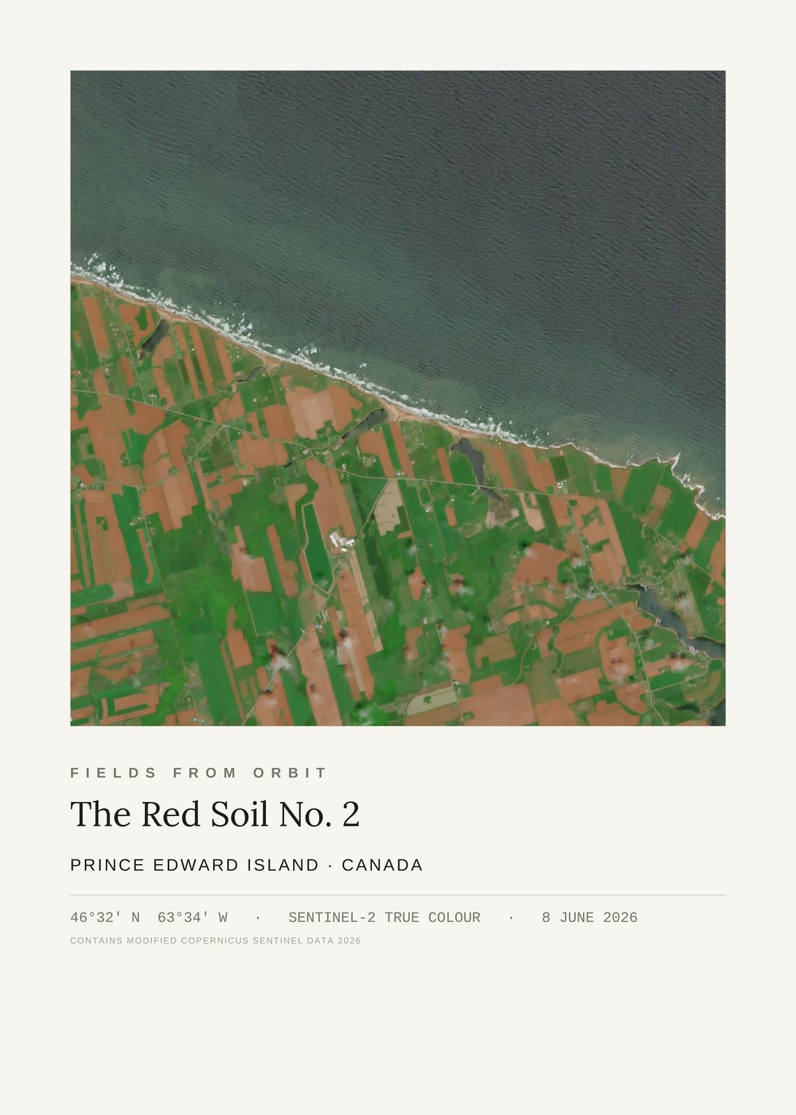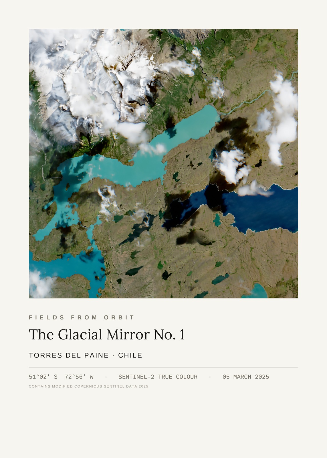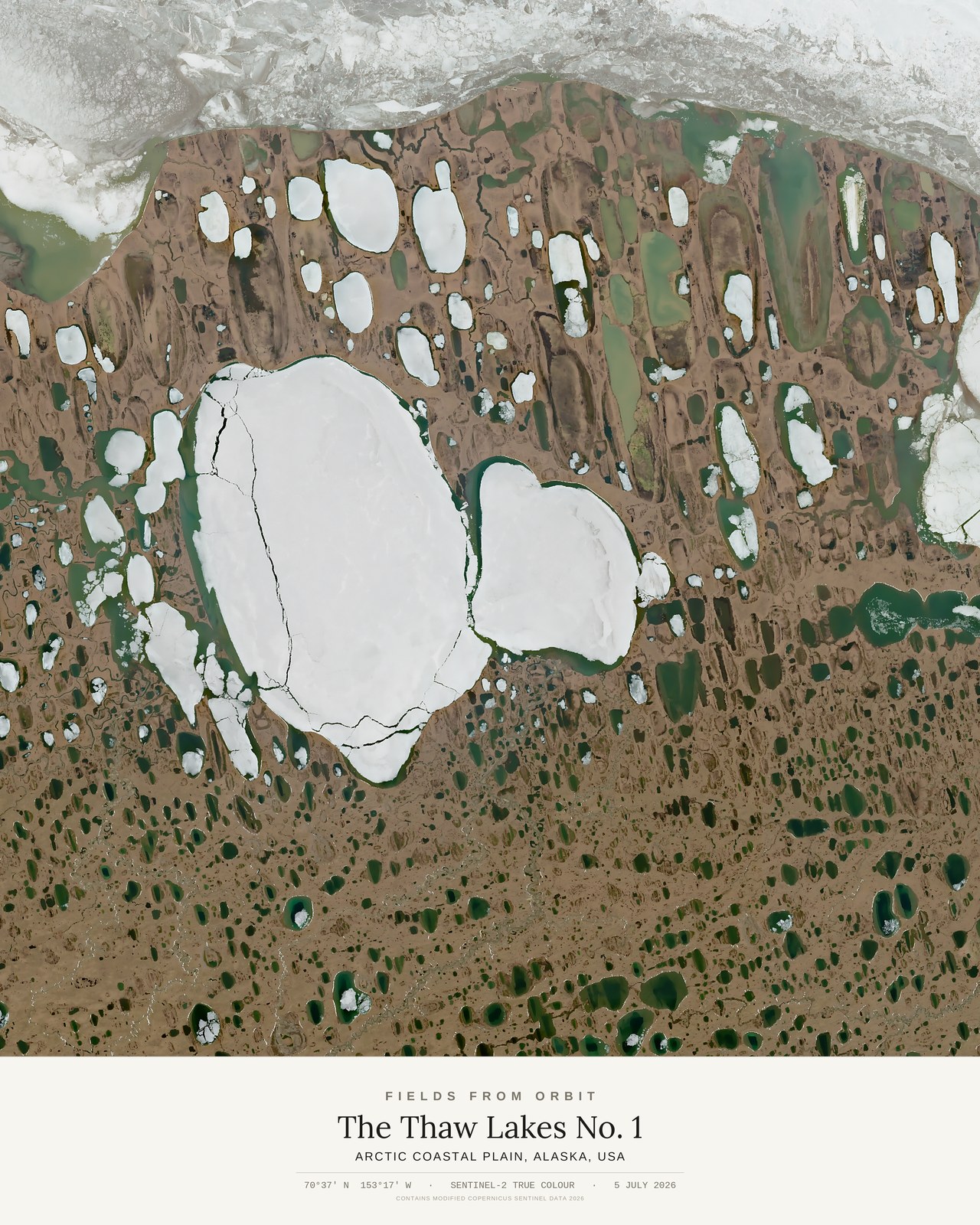
Every purchase — digital or print — ships with the museum label shown here (place, coordinates, capture date).
Tap or click the image to zoom · pinch to zoom on mobile
The Thaw Lakes No. 1
Arctic Coastal Plain, Alaska, USA
70.62, -153.29 · Captured 2026-07-05
Not listed for purchase yet — join the waitlist for any format above and we’ll email you the moment it’s available. Size & Framing Guide
On 5 July 2026, the Sentinel-2 satellite looked down on the Arctic Coastal Plain of northern Alaska, where thawing permafrost has left thousands of polygon-edged tundra cells and thermokarst lakes scattered across the flats like a cracked mosaic — a landscape whose geometry is written by ice, not water or wind.