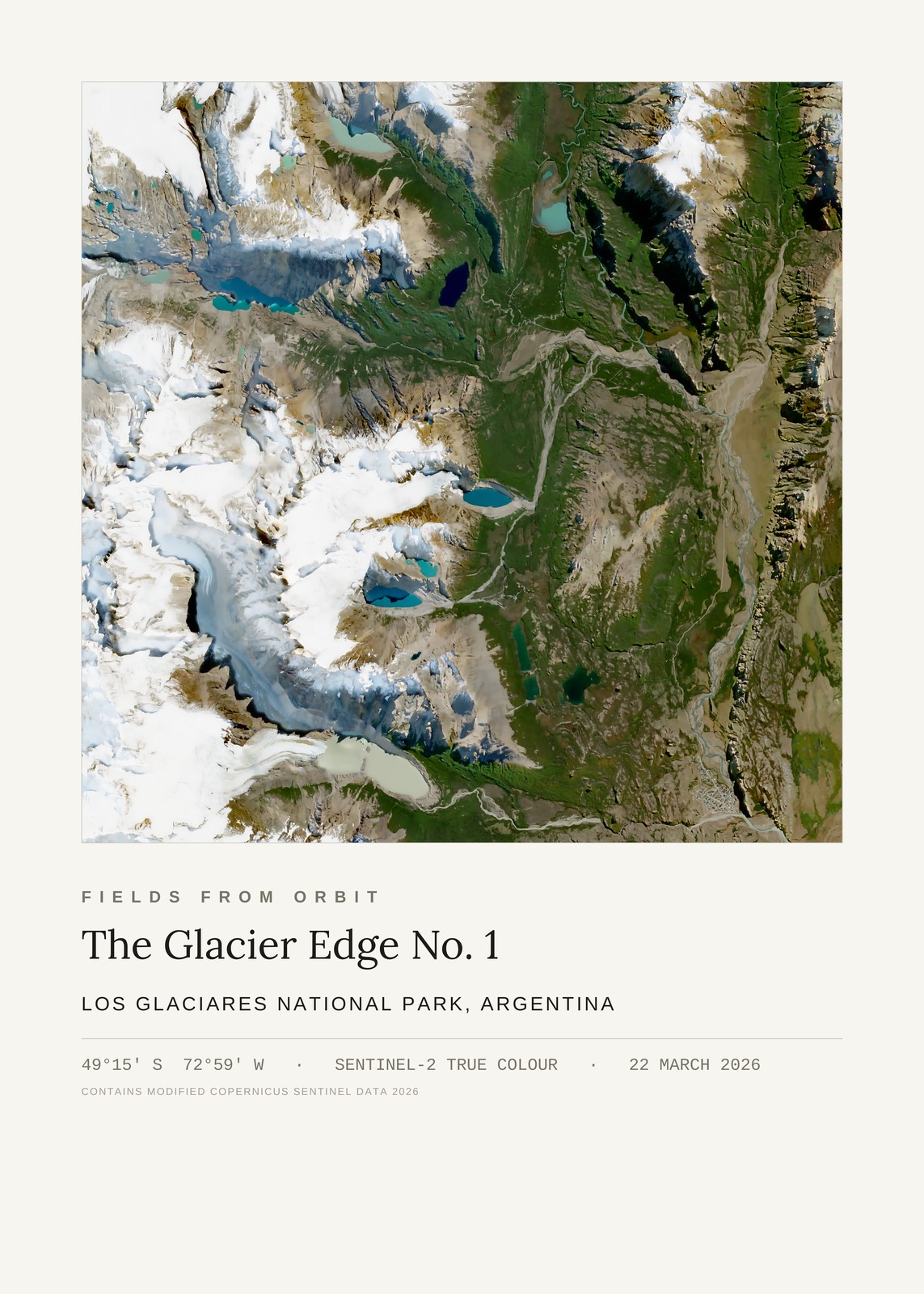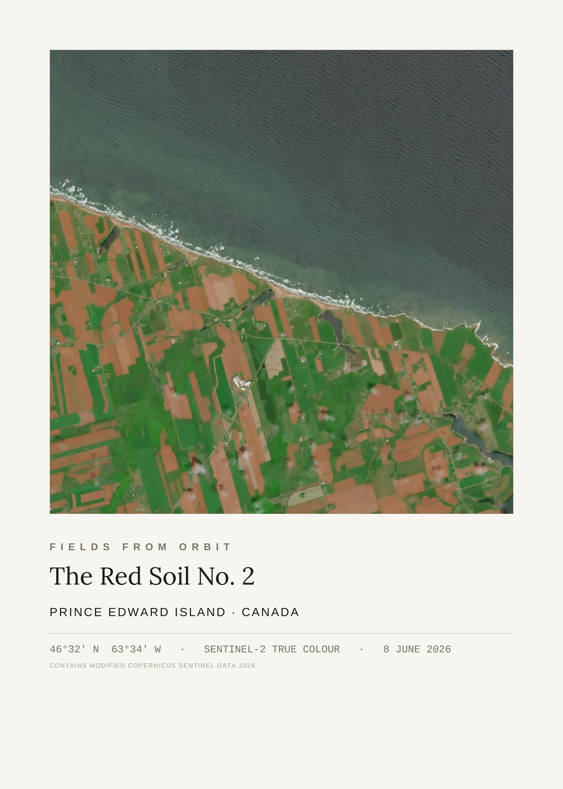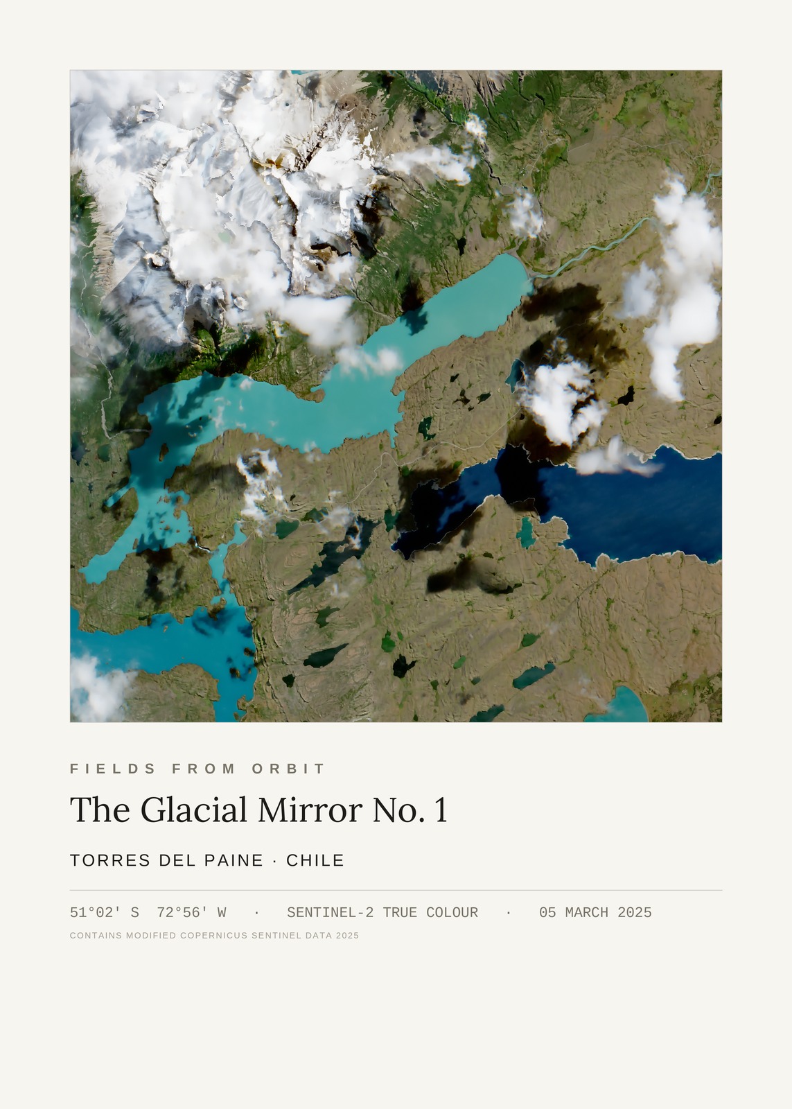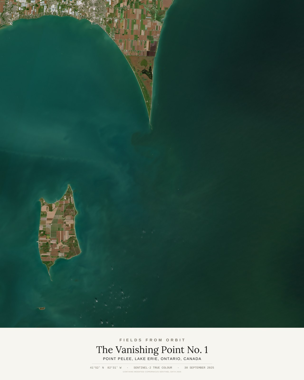
Every purchase — digital or print — ships with the museum label shown here (place, coordinates, capture date).
Tap or click the image to zoom · pinch to zoom on mobile
The Vanishing Point No. 1
Point Pelee, Lake Erie, Ontario, Canada
41.86, -82.51 · Captured 2025-09-30
Not listed for purchase yet — join the waitlist for any format above and we’ll email you the moment it’s available. Size & Framing Guide
On 30 September 2025, the Sentinel-2 satellite looked down on Point Pelee, the spit of farmland that tapers to Canada's southernmost mainland point, narrowing to a thin sandbar where it finally gives way to Lake Erie. Pelee Island floats in the turquoise water beyond it — two edges of land dissolving into the same lake.