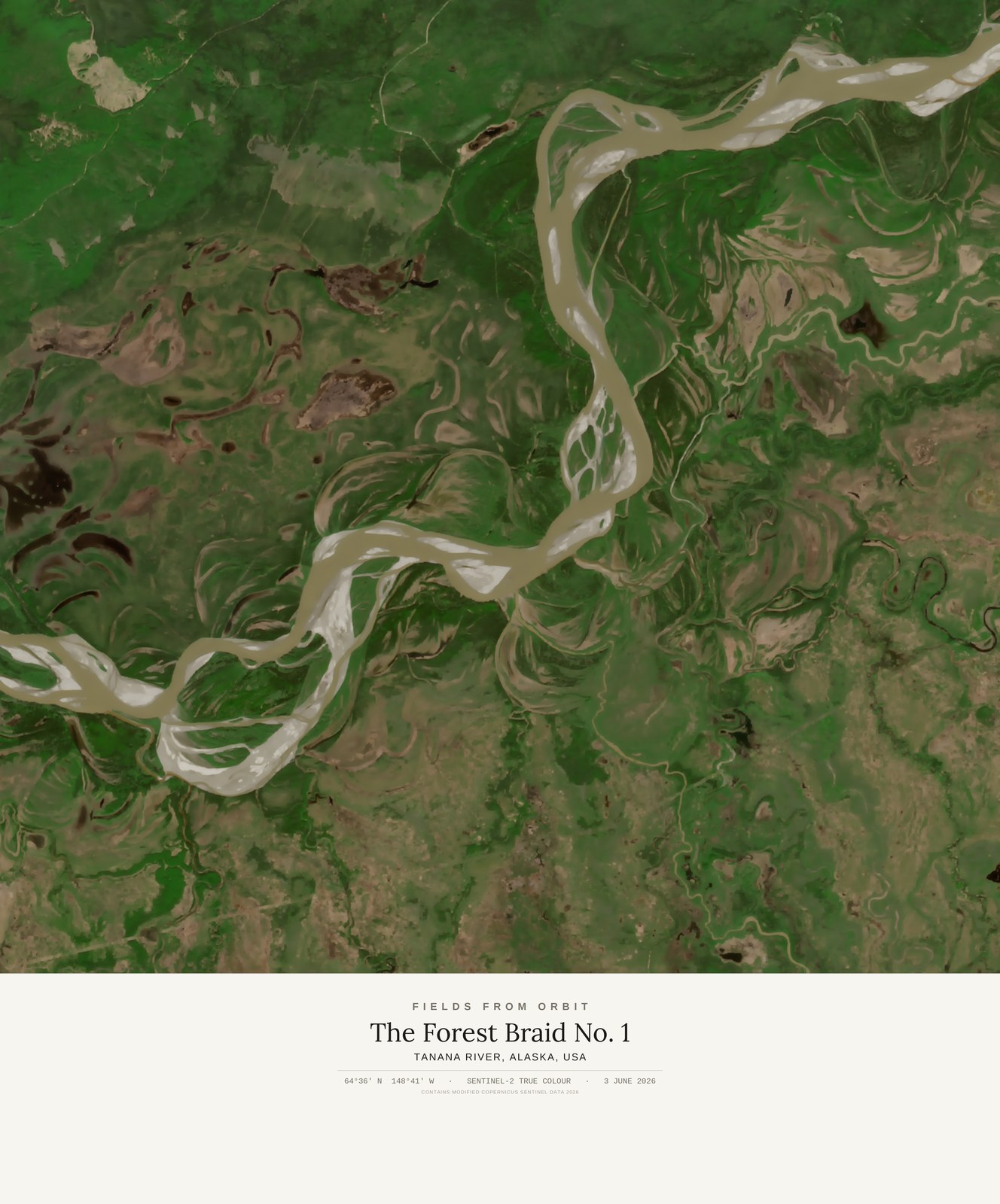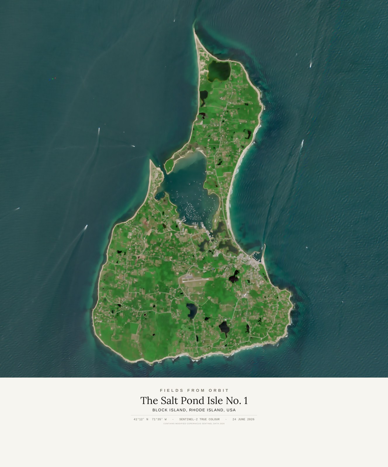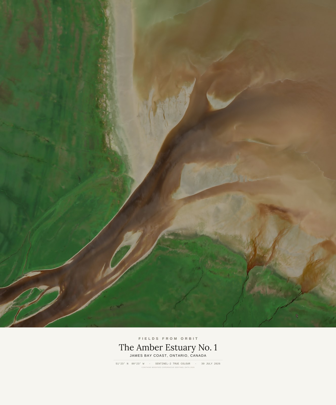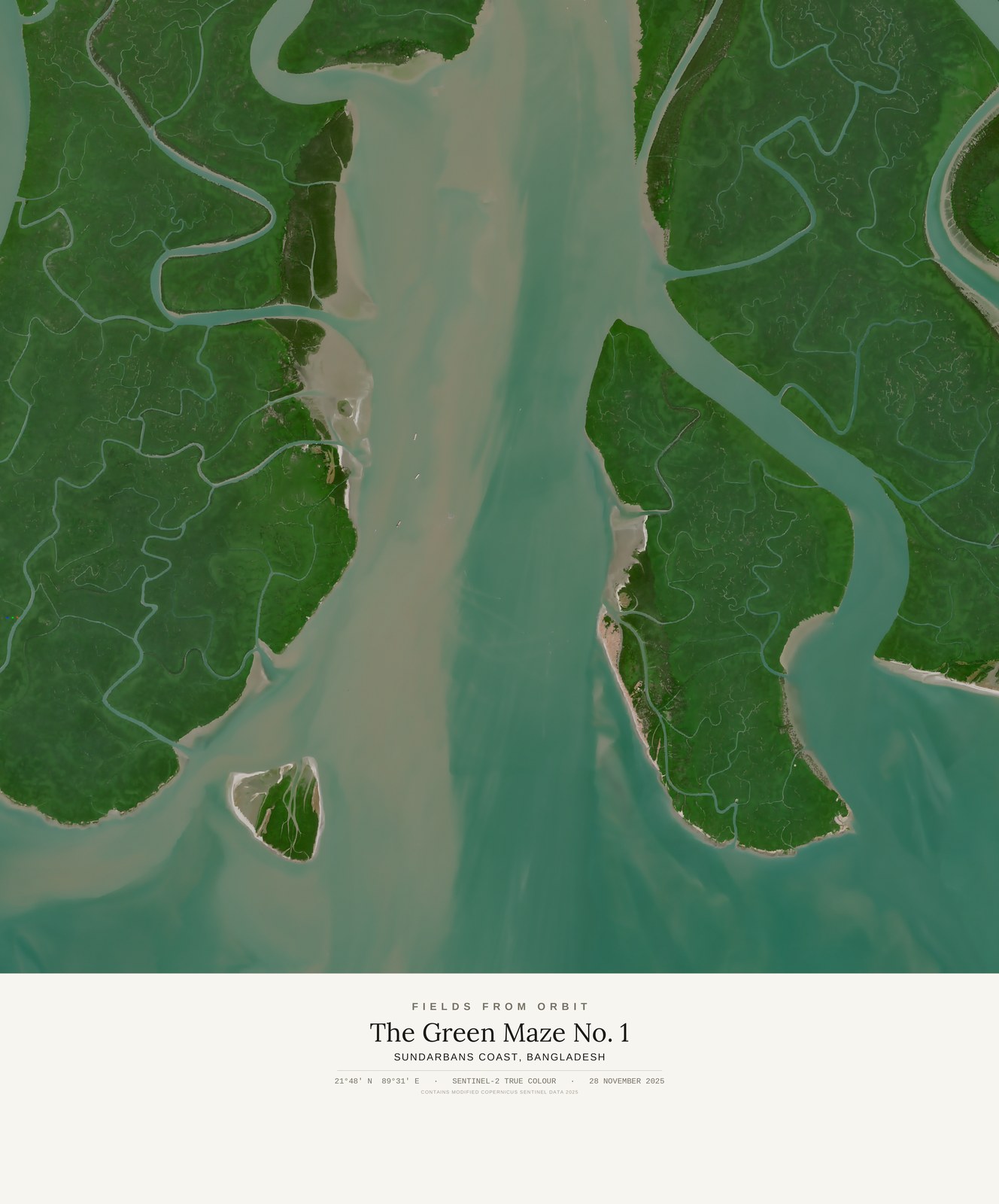
The museum label shown here (place, coordinates, capture date) is part of every piece.
Tap or click the image to zoom · pinch to zoom on mobile
The Green Maze No. 1
Sundarbans coast · Bangladesh
21.8069, 89.5108 · Captured 2025-11-28
Part of the SE Series — places that don’t behave like pictures. Not listed for purchase yet — join the waitlist and we’ll email you the moment it’s available.
The satellite looked down on the Sundarbans, the world's largest mangrove forest straddling the Bay of Bengal, and found its delta islands dissolved into a green maze of tidal channels — no coastline here holds still long enough to be drawn as a line, only water finding its way through root and silt.